Operation Overlord May 1944
Author: Gareth Owen
A collection of maps and chart relating to Operation Overlord May 1944
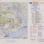
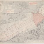
- Area B. Overlord Administrative Map. 1 Map 1944 – Copy 258. Which covers the New Forest. Credit: D-Day Museum, Portsmouth
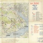
- Area B. Traffic Plan – Annex No.3 to ADM.O.No6. Operation Overlord Center Zone – 1944 – Copy 77. Which covers the New Forest.
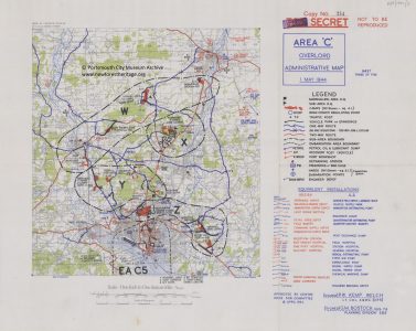
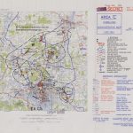
- Area C. Overlord Administrative Map. 1 Map 1944 – Copy 254. Which covers Southampton. Credit: D-Day Museum, Portsmouth
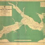
- Southampton and Portsmouth Berthing Plan and chart
- Operation Overlord D-Day dossier – April 1944
- D-Day Camps in Penerley Woods. Marshalling Camp B3 and B4
- D-Day Camps in Roydon Woods. Marshalling Camp B8
- D-Day Camp at Stanswood Bay. Marshalling Camp B9
You can find out more about the New Forest’s vital role in D-Day from Mulberry Harbour, to holding camps, road widening, advanced landing grounds, PLUTO and Embarkation by visiting our main page on D-Day in the New Forest.
Date: 1944


