

Map overlays temporary loss: more info
Author: Nfknowledge
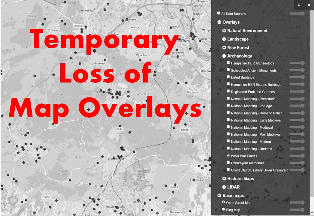
Many users of the site will be familiar with our map and map overlays which provide a range of heritage and natural environment information.
Owing to changes in how map overlays are provided to the website, from mid 2023 users will temporarily lose access to most of this service.
We apologise for the inconvenience.
Below is a full list of the overlays that will be affected. We are working on a solution to restore the overlays and hope to have good news soon. We will let you know through this page once the overlays are working again.
NFK Admin Team
- Natural Environment
- Local Nature Reserves
- National Nature Reserves
- Sites of Special Scientific Interest
- Special Protection Areas
- Special Areas of Conservation
- RAMSAR Sites
- Landscape
- Landscape Character Areas
- Ancient Woodland
- Landscape Types
- River Catchment
- New Forest
- Open Domesday
- Parishes
- Conservation Areas
- NFNPA boundary
- Tranquil areas
- Archaeology
- Hampshire HER Archaeology
- Scheduled Ancient Monuments
- Listed Buildings
- Hampshire HER Historic Buildings
- Registered Park and Gardens
- National Mapping – Prehistoric
- National Mapping – Iron Age
- National Mapping – Romano British
- National Mapping – Early Medieval
- National Mapping – Medieval
- National Mapping – Post Medieval
- National Mapping – Modern
- National Mapping – Undated
- WWII War Diaries
- Churchyard Memorials
- Christ Church, Emery Down Graveyard
- LiDAR
- Hillshade