

Strodgemoor Volunteer Rifle Range – Burley


Historic Ordnance Survey maps from the second half of the 19th century show a number of rifle ranges scattered about the New Forest. It is still possible to see visible traces of these ranges surviving at Long Bottom, Lyndhurst, Burley and Brockenhurst.
The ranges at Lyndhurst, Burley and Brockenhurst appear on the 1870 historic OS maps as Volunteer Rifle Ranges and form part of Napoleonic activity in the New Forest you can read more about the general history of the Volunteer Rifle Ranges and their setup on the Lyndhurst White Moor Range page. The Longbottom Range was set up later in 1895.
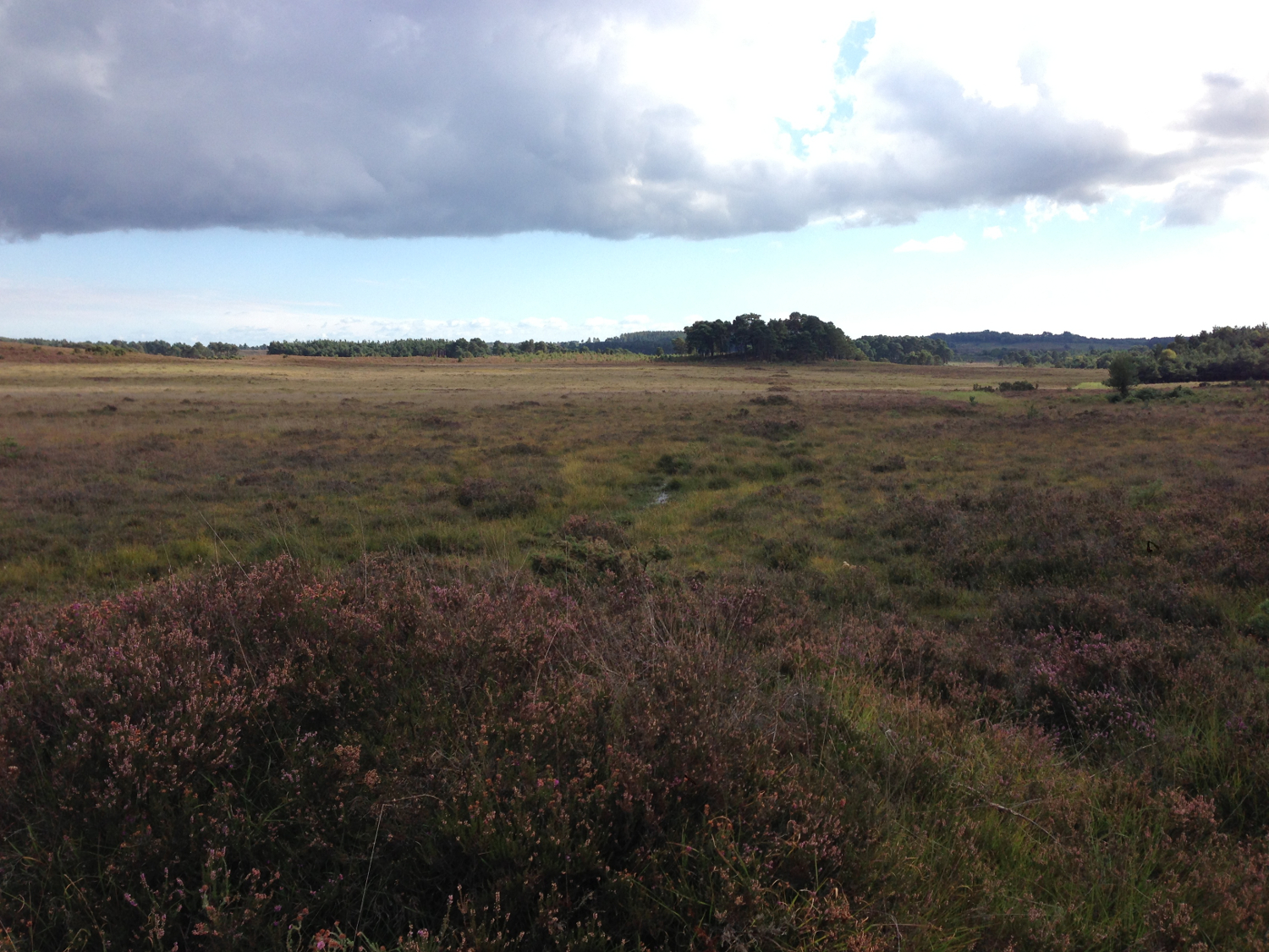
At Strodgemoor Bottom you can still see the faint mounds from the firing off points, and the earth mound of the target butts aligned running north to south. The 2011 Lidar image shows these clearly arranged across Strodgemoor.
There is also a small concrete shelter/bunker associated with the range, but this is later activity from when the range was in use during WWI or WWII. The New Forest Training Area Map from 1943 marks the Strodgemoor Range as an active range.