

Lepe Laser Scanning
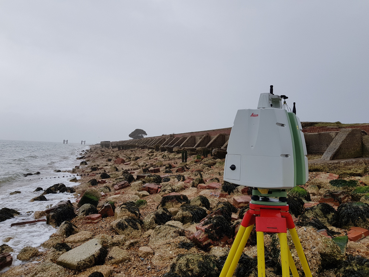


During 2018 the Channel Coastal Observatory based at the National Oceanographic Centre in Southampton and New Forest District Council undertook detailed laser scanning of the foreshore at Lepe Country Park. This was part of a regional project to survey and record coastal defence which includes the WWII archaeology on the coast at Lepe. It will be very difficult and expensive to try and prevent the further deterioration of the Mulberry Harbour construction platforms and DDay embarkation hard at Lepe due to the constant wave and water action. This data capture however will allow us to monitor the site going forward and will also allow the creation of digital models for education, interpretation and modelling the history of the area. The photos are a selection of screen grabs as we process the data so make sure you check back here to follow our progress and see the results.
You can find out more about the other D Day holding camps, and related activities dealing with Mulberry Harbours and Embarkation by visiting our main page on D-Day in the New Forest.
And whilst you wait for the results you can enjoy this drone footage of the site