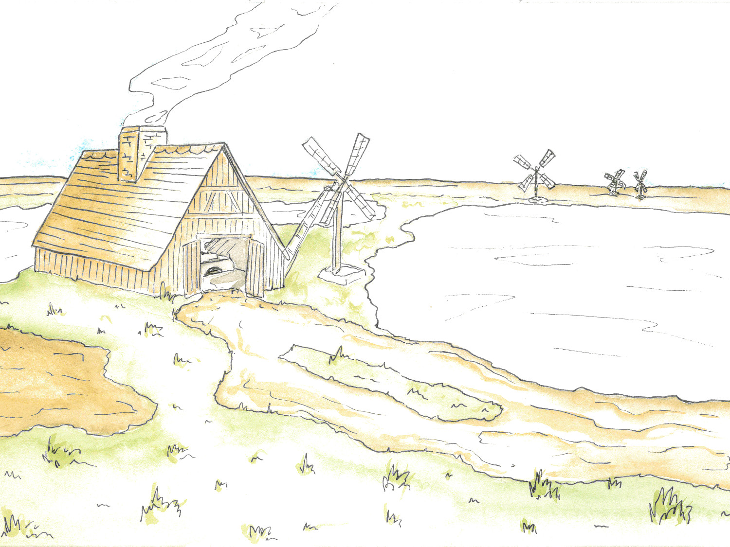
During the 1700’s Lymington and the New Forest coast became the centre of salt production on the south coast following an industrial approach to producing salt, making use of the flat coastline and double tides. A continuous line of salt works occupied the 5 miles of coastline from Lymington to Hurst Spit as well as large areas of the Beaulieu River bank and Southampton Water shore. By the late 18th century, there were 149 salt pans functioning along the Solent. These mainly consisted of large areas of evaporation ponds, wind pumps to move the concentrated saline solution to coal fired boiling houses containing metal pans to complete the process of making the salt crystals.
High Lea (name of field in 1842 Tithe Map when it was under pasture) or Iley Point saltern is one of the later industrialised salterns, shown by the location further back from the sea wall due to lack of space on an already crowded coastline. This saltern complex is potentially one of the largest in the area and is connected to a supply of salt water by a long banked canal. The canal would have also provided the access for barges bringing in coal for the boiling houses and taking the salt back to Lymington for onward travel. The Saltern is recorded on the Murdcoch Mackenzie 1781 Coastal Chart with five houses, windmill, pits and the canal.
High Lea Saltern Model
Following the work of Hampshire Country Council volunteers clearing vegetation from the site an aerial drone flight was undertaken and Drone Deploy was used to capture a series of photos that could then be brought together in Agisoft to create this basic 3D landscape model.