

Carters Lane Trail

Historic Routes and Past Pathway aims to create five new self-guided walking trails in and around the New Forest National Park. This is one of the five suggested trails.
To help select which suggested trails to progress volunteer researchers took a quick look into the history of the areas and produced a Summary of Historical Potential for each trail. This one was researched and drafted by Volunteer Researcher Mike Osborne.
Walking west down Main Road from the centre of Marchwood you pass the Church of St John The Apostle (built for £8,300 in 1843 – £500,000 now). Going round the bend on to Hythe Road you can turn right on to Twiggs Lane; on the left is the distinctive pyramid of the Church of England Infants School replacing the two original school rooms – one for boys and the other for girls – built in 1854. Crossing the By Pass at the pedestrian lights (where there is some limited car parking on an abandoned section of Twiggs Lane) the main trail goes down the lane for about 250 metres. Turn left (east) on the drive way towards “Dunclagh” which is on the site of the Parsonage, the residence built for the first vicar of Marchwood, Thomas Martelli, for £1840 in 1843 (£110,000 now). A new vicarage was built nearer the church in the early 1960s.
All three projects were funded by Horatio Francis Kingsford Holloway who bought the 500 acre Marchwood Lodge estate in 1834. It is marked on Greenwood’s 1826 map as Marchwood Lodge though the Eling Tythe Map in 1843 shows it as Kitt’s House. Originally a yeoman’s farm house it was rebuilt in about 1816 and Horatio acquired the Georgian mansion, complete with stables, coach housing, pleasure gardens, walled kitchen garden, carriage drive and lodge. The Home Farm and lake were established, the ice house built and another 200 acres bought later.
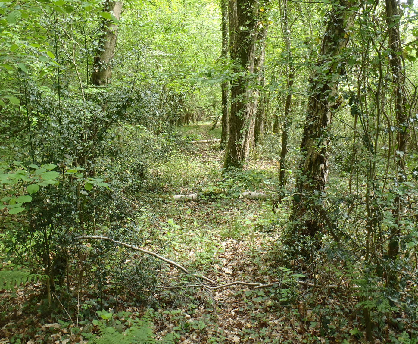
The story of the Martelli / Holloway family’s contribution to Marchwood is worth further research. So too is the decline of the elegant mansion after 1938 to a WW2 factory for components for Motor Torpedo Boats, then a preparatory school and pony trekking centre and finally the purchase of the neglected building by the Priory Hospital Group in 1987. The last remaining 7 acres of estate are not open to the public but the northern loop of our path is through the adjoining woodland.
The Parsonage mentioned above is noted on OS maps from 1860s as being on Beacon Hill. HER 18864 states that J Norden’s map of 1595 shows a beacon in this area, though this is not verifiable. Milne’s map of 1791 names Beacon Hill clearly. The Marchwood Wikipedia entry reports that signals from here could reach both eastern and western ends of the Isle of Wight, but the link to the source of that statement is no longer valid. Visibility is now obscured by woodland.
Based on theories detailed by Ivan D Margary HER 29695 notes that the Roman road from Dibden to Lepe might run through the Marchwood Lodge grounds. An online diagram shows that road being close to Beacon Hill. Other authorities have alternative views.
Our Trail on path 8 goes south from the end of the drive past Dunclagh, on a hedged track and then through a copse, to the land farmed by the Dovey family at Birchlands.
Documents at the Hampshire Record Office indicate that the freeholders of Birchlands Farm until at least the early 1900s were the Bishops of Winchester. Richard Parke is noted as an occupier of the farm in 1789. Census returns from 1851 record farmers with small holdings of 10 to 20 acres and just one of 95 acres. There were changes in the tenancies at each census until the Ghey family took over the major holding from 1881 to at least 1911. Birchlands Farm with 205 acres and 6 cottages was put up for sale in 1945. More research at the HRO and the New Forest Centre on the land holding could complete the historical picture.
The Dovey family run a “Red Tractor” certified, mixed farm and are very conscious of the need for sustainable, accountable agriculture. They do have concerns about irresponsible walkers with uncontrolled dogs and anyone straying from the designated rights of way. Though their slurry pit is well fenced they do worry that they could be liable if mindless trespassers fell in.
The greater part of path 7 is marked on the Milne map of 1791, Greenwood in 1826, and the Tithe Map of 1842. The southern loop of the trail on that path runs through the farmyard and then north on path 9 to rejoin 7 for the leg back across the big field under the pylons to the southern tip of Fir Copse. Path 7 then continues north east through the copse, past the Home Farm and bends to the west in woodland on path 16. Just before that junction you may be able to see the lake through the trees to your right. At the end of 16 there is a track linking back to the driveway past Dunclagh to Twiggs Lane.