An Exhibition- Maps: the New Forest Unfolded
This exhibition reveals biographies of the New Forest and its people through maps selected from the collection of the Christopher Tower New Forest Reference Library.
These maps, of large and small scale, illuminate not only the landscape but the individuals and institutions that shaped the Forest as it is today.
Maps help us to understand our world: to navigate, to show ownership, to describe the function or value of spaces, to indicate their characteristics, to explain the past and to plan the future. Behind our maps lie the stories of their creators, characters who dedicated themselves to sharing their enthusiasms with an eager public.
Not only surveyors, but foresters, archaeologists, a pioneering motorist, and a dancing master with a broken leg have all contributed to the wealth of maps, plans and charts that display what was, what is and what might have been.
The exhibition covers seven broad themes:
- Geology and Archaeology
- The role of government in the 18th and 19th centuries
- Place-names
- Large scale mapping by the Ordnance Survey
- Travel
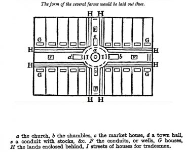
- What might have been
- Forestry Commission stock maps


