

Tatchbury Mount Trail

Historic Routes and Past Pathway aims to create five new self-guided walking trails in and around the New Forest National Park. This is one of the five suggested trails.
To help select which suggested trails to progress volunteer researchers took a quick look into the history of the areas and produced a Summary of Historical Potential for each trail.
Hanger Farm
Hanger Farm, now an arts centre, was once a working farm and settlement. The site and name can be traced back to the Saxon period and it is mentioned in the Doomsday Book, with a recorded population of seven households in 1086. The site was an active farm up to the 1950s.
Hanger farmhouse is a Grade II listed building. The original house has a substantial timber frame, with three bays plus a smoke bay for the chimney. The interior contains most of the original frame and many panels of wattle and daub.
The nine-bay barn at Hanger Farm, also Grade II listed, has a weather-boarded timber frame on a brick plinth. It has a queen strut roof originally covered with slate.
By the 1960s the buildings were in disrepair and at risk of being lost. At the turn of the millennium the Town Council commenced a project to turn the barn into an arts centre.
From here, the trail heads north along Tot.706a via an old route, visible on the map of Greenwood & Kentish, dated 1826. The original route has had a small diversion following the building of a Morrisons store.
Once back on track, we cross over Michigan Way, then west along the pavement on Oleander Drive. Cross the road and pick up the right of way again, now Tot.725, opposite the site of Hazel Farm.
Hazel Farm
Hazel Farm, once Tatchbury Farm, dates from the 19th Century. Hazel Farm and Hanger Farm are shown on the Eling Tithe map of 1842, along with the joining track and sunken lane.
Hazel farmhouse, a brick house, has three bays with a central front door and chimney stacks at either end. The associated agricultural buildings are a good example of a compact 19th Century farm layout.
The route now heads west along the gravel path (Tot.725) towards the underpass of the Totton bypass and then into the New Forest National Park on footpath Net-Mar.25.
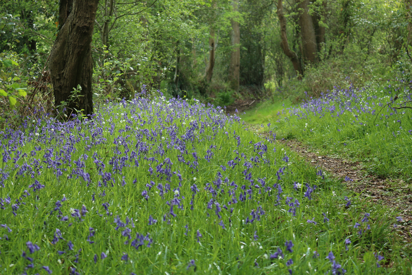
The sunken lane is the remnant of an old track, backed up by a variety of established flora. There is also the footpath Net-Mar.24 which goes north to the hillfort at Tatchbury Mount, an important historic site in the area. Alongside, are some impressive oak trees.
Once through the underpass you are now in Netley Marsh parish. Continue west along this old ‘road’ – now Net.25 – which once joined Tatchbury Farm to Stanfords Hill (now Tatchbury Lane). Alternatively, head northwest along Net.24 and up to the Iron Age hillfort.
Netley Marsh
Saxons invaded via Southampton Water and history tells of a huge battle that took place at ‘Netley Marsh’ the area around Tatchbury.
More than 5,000 people were killed including the local King whose stronghold was the hillfort. The Saxon invaders were the forebears of King Alfred the Great.
Tatchbury Mount
The remains of the Iron Age hillfort at Tatchbury Mount (Mon’ ID 22077) survive well as a series of earthworks on a prominent clay hill.
A country house was built on the summit of the hillfort in the late 18th Century and the surrounding area was extensively landscaped and planted with trees as part of the formal gardens.
Landscaping involved the partial levelling and terracing of the eastern defences, the cutting of several footpaths through the banks and the construction of a drainage ditch on the north eastern side.
Tatchbury Mount was built in the early 19th Century, possibly for William Timson, or more likely for Henry Thomas Timson, a ‘gentleman of fortune’ who died in 1848.
In 1927, Tatchbury Mount was put up for sale by the Timson family and eventually sold to Hampshire County Council for use as a hospital treating people with mental illnesses. The original mansion was demolished in 2006.
Once past the hillfort, go down Tatchbury Lane and head south towards the footpath Net-Mar.25. This lane goes past the modern Tatchbury Manor House plus the site of the deserted medieval settlement of Tatchbury, mentioned in the Doomsday Book as having no population.
Get involved
This route is a preview of one of five new self-guided walks we are developing along existing rights of way in and around the New Forest National Park.
If you’d like to contribute memories or stories to this trail, get in touch with Gareth Owen on 01590 646652 or Gareth.Owen@newforestnpa.gov.uk.