

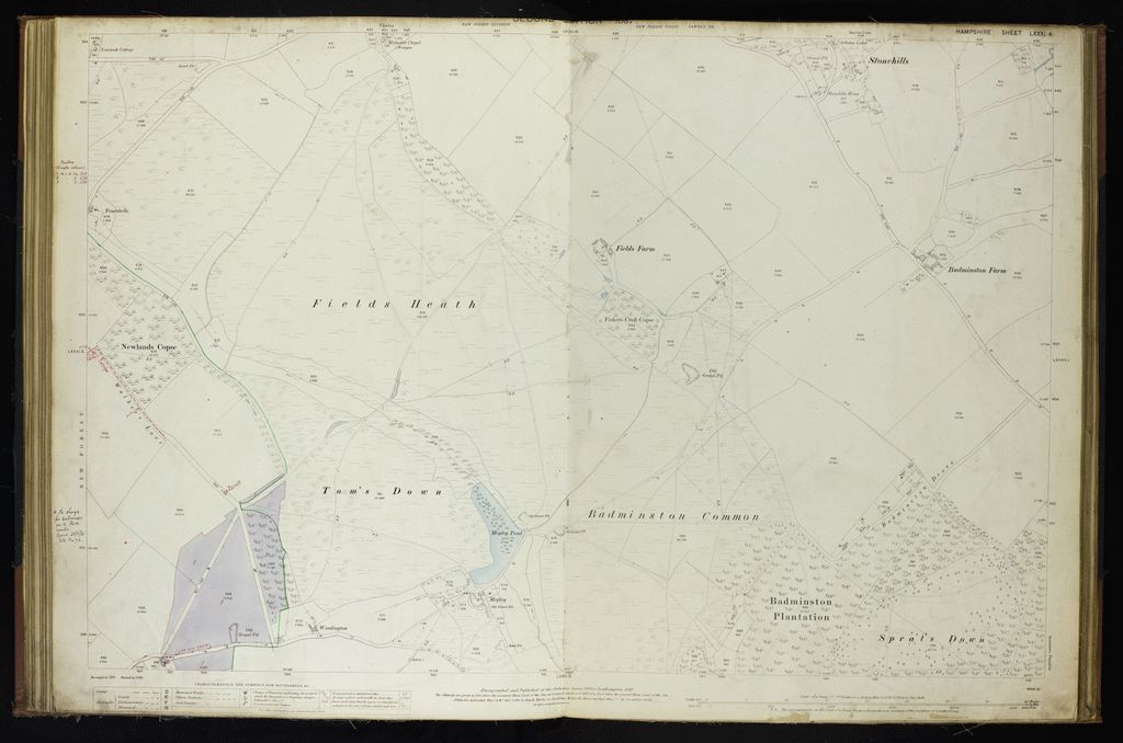
FC Atlas4, Hampshire_Sheet_LXXXI.4, Badminston Common, Stonehills, Sprat’s Down, Mopley
Author: Ordnance Survey, annotated by the Forestry Commission
Map coverage: Badminston Common, Stonehills, Sprat's Down, Mopley
Map OS reference: Hampshire_Sheet_LXXXI.4
Year of publication: 1897
Files Last import: November 19, 2020