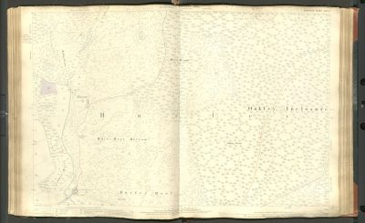
FC Atlas2, Hampshire Sheet LXXI-10, Whitemoor Bottom, Burley Moor
Author: Ordnance Survey, annotated by the Forestry Commission
Map coverage: Whitemoor Bottom, Burley Moor
Map OS reference: Hampshire Sheet LXXI-10
Year of publication: 1897
Files Last import: January 11, 2022


